
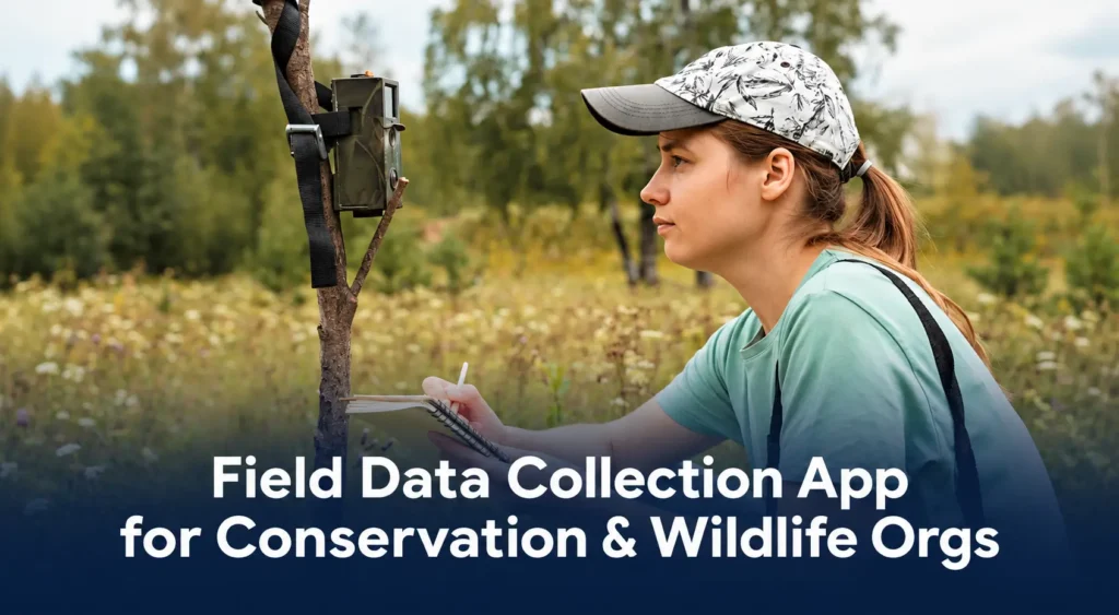
A field data collection app for conservation and wildlife organizations needs to do three things without excuses: work with no signal, tie every record to an exact location, and produce data nobody can quietly edit after the fact.
VerusTrust Forms does all three.
It’s a no-code form builder for logging species sightings, habitat surveys, and ranger patrols in the field, then anchoring that data so it holds up when a donor, regulator, or partner organization needs to check it.
This page walks through what that looks like feature by feature, and what it costs to start.
The Challenge for Conservation and Wildlife Field Teams
Conservation field teams work where the infrastructure a typical data-collection tool assumes, cell coverage, cloud sync, a help desk on standby, usually isn’t there. That gap lands hardest on programs that are already stretched thin.
Rangers and field staff often work days from the nearest signal, across reserves and protected areas that span thousands of acres with no connectivity built in. A tool that can’t save a species sighting or a patrol note offline gets replaced by a paper notebook and a photo taken later, if there’s even time to take one.
Limited budgets make these issues even harder to fix. Conservation programs are rarely funded to run separate systems for field capture, patrol tracking, and reporting, so whatever tool they use has to cover all three without a specialist on staff to run it.
And then there’s what happens to the data once it’s back at the office. A donor, a certifying body, or a government partner eventually asks whether a species count or a patrol log can be trusted, and a spreadsheet anyone on staff can quietly edit doesn’t have a good answer. Our piece on the trust gap in conservation field data covers what that costs programs in practice.
A field data collection app built for this sector has to solve both ends of the problem: capturing data where the work actually happens, and producing a record that still holds up once someone else is the one checking it.
What to Look for in a Field Data Collection App for Conservation and Wildlife Organizations
Not every field data collection app fits this kind of work, and the gap between one that does and one that doesn’t usually comes down to five things.
Check for these before comparing feature lists or price tags:
- Works fully offline: captures and saves a complete record with no signal, and syncs automatically once a device reconnects, instead of losing data or falling back to a paper form.
- Captures the right kind of location data: three distinct field types, a point for a single species sighting, a route for a patrol, and a boundary for a habitat plot, so location data matches what’s actually being recorded.
- Produces tamper-evident records: a way to prove a record wasn’t quietly altered after capture, checkable by someone outside the organization instead of resting on an internal promise that it wasn’t touched.
- Controls access by role: gives an external auditor or donor reviewer exactly the access their review needs, without handing over the whole account.
- Centralizes records for oversight and export: one place to filter, review, and export everything that’s come in for a grant report, a board update, or an audit, without digging through separate spreadsheets.
VerusTrust Forms has been designed and built with exactly that list in mind, so it checks every item on it.
How VerusTrust Forms Helps
VerusTrust Forms exists to log species, habitat, and ranger patrol data in remote areas with geotagged, verifiable records.
That statement breaks into three parts, and each one solves a piece of the challenge above:
Offline-first capture means a ranger fills out a full form, GPS coordinates included, with zero signal, and the data sits securely on the device until there’s a connection to sync it.
Geotagging means every sighting, survey, and patrol route is tied to an exact point, line, or boundary instead of a written description of where it happened.
Verifiable records means the fields that matter, a species count, a GPS coordinate, an incident type, get hashed and anchored automatically on submission, so the record can’t be quietly changed later without leaving a trace.
Most conservation and wildlife organizations are also nonprofits, balancing program work against exactly this kind of donor accountability, which is the persona VerusTrust Forms builds for across its Non-Profit Organizations solutions more broadly.
For a full walkthrough of building the three form types this sector uses most, see our step-by-step guide to capturing geotagged, blockchain-verified records.
Where VerusTrust Forms Fits as a Field Data Collection App for Conservation and Wildlife Organizations
Each feature below answers one item on the checklist above, in the same order it was listed, from a ranger’s first tap in the field to a donor’s final review of the data.
If it’s still one of several tools on the shortlist, our roundup of the best field data collection apps for conservation and wildlife organizations compares it against the field. Here’s how each piece works.
Offline mobile capture
A species sighting, a habitat score, or a patrol incident gets logged the moment it happens, whether or not there’s a signal to send it anywhere. The Mobile App With Offline Mode works identically offline and online, every field type included, with data stored securely on the device until a ranger or surveyor is back in range to sync it manually.
That directly answers the connectivity gap covered above. A program doesn’t have to choose between capturing data properly and capturing it at all.
GPS point, line, and polygon fields
Different records need different kinds of location data, and GPS Data Collection covers all three: a Point field tags a single species sighting with one tap, a Route or line field traces the path a ranger patrol walked or drove, and an Area or polygon field outlines the boundary of a habitat survey site.
All three work fully offline and sync once a device reconnects, so accurate location data never depends on having a live connection at the moment of capture.
Blockchain-anchored, tamper-evident records
Once a record is captured, the next question is whether anyone can trust it later. Blockchain Verification & Smart Contracts hashes and anchors whichever fields matter most, a species count, a GPS coordinate, a patrol finding, automatically on submission. The raw data stays off the public chain; only the proof that it wasn’t altered goes on it.
This is included on every VerusTrust Forms plan, including the free-forever one, so a program doesn’t need a paid tier to hand a donor or auditor a record they can independently check.
Role-based access for staff, partners, and external auditors
Not everyone who touches a program’s data needs the same access to it. User Roles & Permissions scopes what a given person can view, edit, or export down to a specific project, region, or role, applied the same way online and offline.
A field technician logs sightings without seeing the program’s budget data; an external auditor or donor reviewer gets access to exactly the records their review covers, and nothing beyond it.
A real-time dashboard for program oversight
Every verified record lands in one place instead of scattered across notebooks, phones, and someone’s personal spreadsheet. The Submissions Dashboard gives program leads a real-time, filterable view of everything that’s come in, by site, date, submitter, or status, and exports to CSV or Excel whenever a grant report or board update needs it.
That’s the same view a donor or auditor can be handed directly, filtered down to exactly what their review covers.
Start Collecting Verifiable Conservation & Wildlife Data in the Field For Free
A conservation or wildlife program that does its fieldwork without reliable signal, and whose results need to hold up to someone else’s scrutiny afterward, is exactly who VerusTrust Forms is built for. That’s most conservation field programs, and it’s the direct answer to whether this is the right tool for this sector.
For a real example of this model holding up under outside scrutiny, our case study on the WWF Bison Rewilding Project walks through a peer-reviewed framework built on the same principle.
Budget is part of that calculus too. Conservation field programs are rarely flush, and State of the Ranger, Vol. 1, 2024 found nearly half of rangers surveyed described their operation as under-resourced.
VerusTrust Forms doesn’t ask a program to solve that with a bigger budget. Every plan, including the free-forever one, includes unlimited users, so a program isn’t paying per staff member or per volunteer to get everyone logging data the same way.
Data isn’t locked in either. Every record exports to CSV or Excel at any time, on any plan, so switching tools later, if a program ever needs to, doesn’t mean losing years of field records.
Set up a species log, habitat survey, or patrol form today. Start for free, no credit card required.
Frequently Asked Questions (FAQs)
Does VerusTrust Forms work without internet in the field?
Yes. Every field type, including GPS, works fully offline for data capture and editing. The form syncs losslessly once a device reconnects to a signal.
Is blockchain verification included on the free plan?
Yes. Blockchain verification is available on every VerusTrust Forms plan, including the free-forever one.
Can rangers use it for patrol data as well as species surveys?
Yes. A GPS Route or line field tracks the path a patrol walked or drove, and incident and user-assignment fields log what happened along the way and who was on duty.
VerusTrust Forms is a flexible form builder built for this kind of data. It isn’t a dedicated ranger-operations platform like SMART or EarthRanger, so a program already running one of those can still use VerusTrust Forms for the records that need a tamper-evident anchor.
Start on the free plan and build a species log, habitat survey, or patrol form today.